Field measurement is crucial in planning and executing any construction or renovation project. It involves measuring and documenting data to create accurate design plans and proper alignments. Field measurement involves distances, angles, heights, elevations, areas, and volumes using various tools and instruments.
Importance of Accurate Field Measurements
- Accurate field measurements are essential to ensure the alignment of the structure with the actual plans. This can help avoid even small deviations in the structure, thereby reducing the chances of costly corrections.
- It helps with clear communication with the construction team to plan and execute the design and construction process with a unified plan.
- By reducing or avoiding the measurement corrections, the scheduled tasks can be executed without any delay and help in timely completion.
- It helps to position components in place, preventing structural failures and any kind of instability.
Types of Field Measurements
Linear Measurement

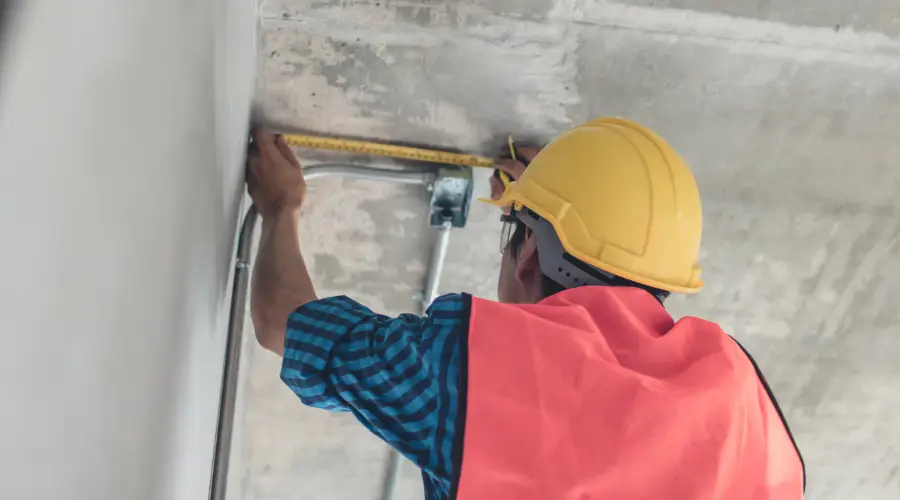
Linear measuring is the process of determining the length, width, and distance between two points in a straight line, such as the walls, beams, columns, roads, and other structural elements. It is one of the basic measurement types and is used to measure small distances.
Angular Measurement

It is the process of measuring angles between two lines or planes, typically used to determine the orientation of lines, walls, and other structural elements. They are measured in degrees or radians and help correct angles to improve functionality and structural integrity.
Levelling

It is the process of determining the elevation of a point relative to a reference point, to ensure the surface is vertically level throughout the construction site. This is crucial for buildings, roads, utilities, and other structures. It helps to create accurate designs and layouts, ensuring the safety, functionality, and stability of the project.
Geodetic Measurements

It is the precise measurement and observation of the Earth’s shape, orientation in space and gravitational field. It helps in determining the positions on the Earth’s surface, land movements, navigation, construction, and mapping. Such measurements play a crucial role in surveying, astronomy, civil engineering, and global positioning.
Tools and Instruments Used for Field Measurements
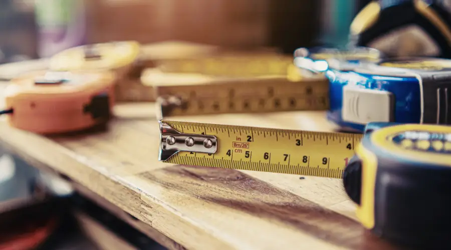
- Measuring Tape and Steel Ruler are used for short linear distances, and are usually used in construction, land surveying and interior measurements.
- Electronic Distance Meters are used to measure long distances using lasers or infrared beams, providing fast and accurate measurement.
- Theodolite is used to measure both the horizontal and vertical angles of a distant object.
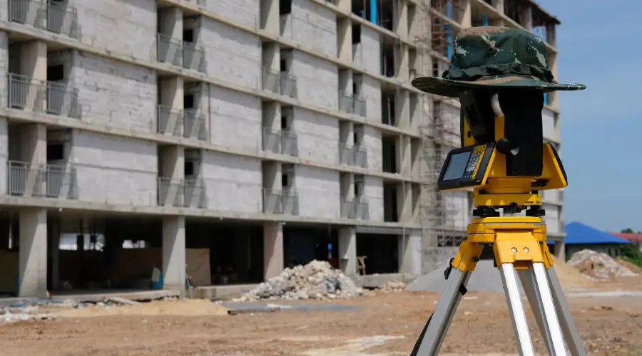
- Total Station is a combination of a theodolite, a distance meter, and a data collector, that provides highly accurate measurements.
- Levels are used to determine the horizontal alignment of the sight.
- The hand level is used to measure levels over short distances.
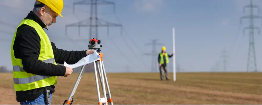
- The auto level is used to measure the horizontal level of the longer horizontal line of sight.
- A dumpy level is used for accurate levelling.
- Ranging Poles are used along with theodolite to measure the levels.
- Tripods are used to position the equipment such as Total Station, Theodolite, and measuring instruments.
- Plumb Bob is used to measure the transfer of points vertically.
- Prisms are used along with total stations to determine the accurate measurement of distance.
- Stakes are used as a tag to mark points on the ground.
Step-by-Step Process of Field Measurements
Site Evaluation
Conduct a preliminary walk-through survey to identify critical areas, such as boundaries, reference points, and existing structures. This will be helpful in planning and determining the benchmarks.
Data Collection
Perform field measurements based on the requirements. For linear measurements, use tools like measuring tapes, chains, or lasers. For angular measurements, use theodolites, total stations, or compasses. The levelling instruments or GPS devices can be used to measure the elevation or altitude.
Record the measurements including the time, date, weather conditions, and any observations which could affect the data. It is necessary to ensure multiple readings to ensure accuracy, especially in critical areas.
Data Verification
After collecting data, cross-check the measurements using different tools to verify the accuracy. If there is any measurement error, corrective actions can be made by performing necessary calculations.
Documentation
Document all the data collected manually or using digital tools, with proper references to the location and measuring instruments. This documentation will help in updating plans, verifying designs, or troubleshooting discrepancies.
Applications of Field Measurements in Construction
- It is useful in marking and locating positions of buildings, roads, site planning , and preparation proper drainage system.
- Helpful in locating and levelling the foundation lines, and verifying the dimensions and depths of excavations.
- Can be used for laying out road alignments, grades, and cross-sections for infrastructure projects such as constructing roads, bridges, sewage systems, and electricity.
- Ensuring accurate measurements will be helpful for architectural and finishing works, such as installing windows, doors, floors, walls, and ceiling finishes.
Advantages and Disadvantages of Field Measurements
Advantages
- Measurements are highly accurate and provide precise data, preventing errors.
- The data collected are real-time and give on-site conditions, enhancing flexibility and responsiveness.
- Accurate measurements help ensure the project is built according to the approved design and engineering standards.
- Effective field measurement helps reduce maintenance costs and the amount spent on reworks.
- It plays a vital role in controlling the quality of the construction, meeting the quality standards, and aligning the design and material specifications.
- In the case of planning for future alterations or expanding the building, field measurements are crucial.
Disadvantages
- Conducting field measurements is time-consuming, especially in large or complex areas.
- As most of the measurements are manually done, there is a chance of human errors; this may require corrections.
- The cost of measuring equipment and tools such as total stations, laser scanners, or GPS systems can be high.
- Numerous challenges are involved in conducting field measurements, especially in complex areas.
- Accurate field measurements require skilled labourers, who are familiar with measuring tools and equipment.
- Inaccurate measurements could lead to costly errors and may require planning and construction reworks.
Conclusion
Field measurements are crucial for any construction project, providing numerous advantages through accurate measurements. They provide real-time measurements, help in effective planning and construction, and prevent costly reworks. Although they have numerous advantages, they also have some limitations in terms of measuring challenges, time consumption, and environmental constraints.

